How to Research Crime Rates Before Moving

How to Research Crime Rates Before Moving
When choosing where to live, safety is often a top priority. Crime rates can affect your daily activities, property value, and overall quality of life. Here’s how to research crime data effectively before moving:
- Use Federal Databases: The FBI's Uniform Crime Reporting (UCR) Program and the National Incident-Based Reporting System (NIBRS) provide reliable crime statistics. Access these through the FBI's Crime Data Explorer for detailed insights.
- Check Local Police Resources: Many police departments share neighborhood-level crime data on their websites or through platforms like CityProtect and CrimeMapping.com.
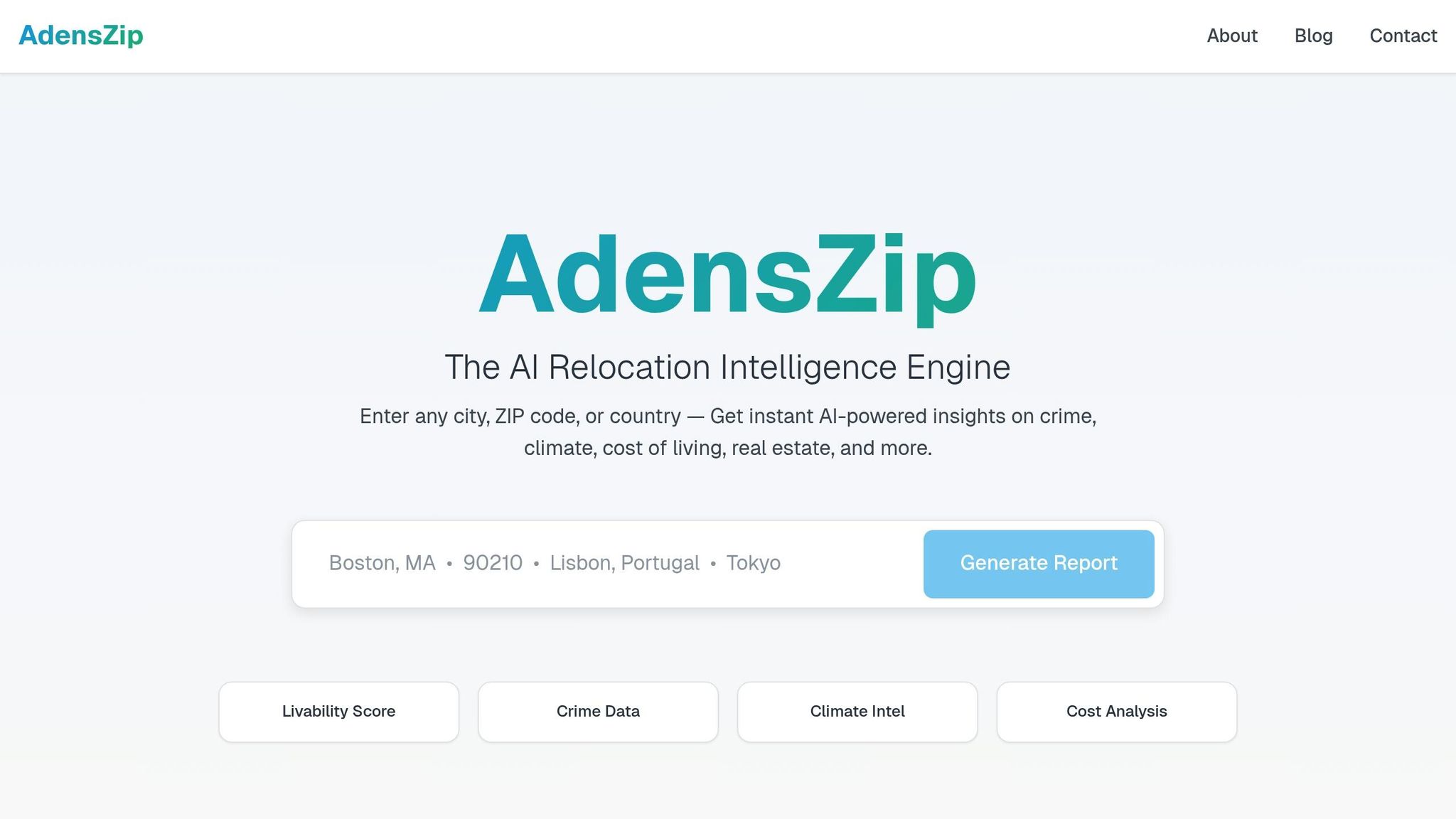
- Leverage Digital Tools: AI platforms like AdensZip analyze crime trends, predict patterns, and provide safety scores for ZIP codes or cities, making data easier to understand.
- Analyze Trends: Look at crime data over several years to identify patterns. Break data into categories like violent and property crimes to focus on what matters most to you.
- Get Local Context: Combine data with community input, local news, and personal observations to get a fuller picture of neighborhood safety.
Balancing safety with other factors like schools, commute times, and housing costs is key. Tools like AdensZip can streamline your research by combining crime data with livability metrics, helping you make informed decisions.
WATCH: Why crime statistics are not the only way to gauge public safety
Where to Find Crime Data
For accurate crime data, turn to trusted government and local sources. Many agencies make their statistics publicly accessible through online platforms, offering a wealth of information for anyone looking to understand crime trends.
Federal Crime Databases
The FBI's Uniform Crime Reporting (UCR) Program serves as the main national hub for U.S. crime statistics. It compiles data on violent and property crimes from law enforcement agencies across the country. With the UCR, you can explore annual statistics by state, metropolitan areas, or cities with populations over 10,000. However, keep in mind that the data often comes with a delay of 12–18 months.
For more detailed insights, the National Incident-Based Reporting System (NIBRS) provides incident-level data for each crime. Both the UCR and NIBRS are accessible through the FBI's Crime Data Explorer, which offers tools to create custom reports and view interactive maps, giving a clearer picture of crime patterns nationwide.
Police Department Websites
Local police department websites are another valuable resource, offering detailed, neighborhood-level crime data. These platforms often feature interactive maps and reports that show where crimes have occurred, the types of offenses reported, and trends over time. The data is typically pulled directly from the department’s internal records.
Many police departments also partner with third-party platforms like CityProtect and CrimeMapping.com to share their statistics. When browsing a department’s website, check for sections labeled "Crime Statistics", "Crime Mapping", "Community Safety", or "Public Records" to find the information you need. These resources not only provide detailed local data but also complement federal tools, making your research more comprehensive and user-friendly.
Digital Tools for Crime Research
Thanks to modern technology, accessing real-time crime data and safety insights has never been easier. These tools work hand-in-hand with information from federal databases and local police websites, delivering data in a way that's not only easy to access but also practical to use. By combining government-sourced information with intuitive interfaces, these platforms simplify the process of understanding neighborhood safety patterns, eliminating the need to sift through dense official reports.
Crime Maps and Safety Dashboards
Interactive crime maps have become a go-to resource for visualizing safety trends in neighborhoods. By turning raw police data into clear, easy-to-read visuals, these maps show where incidents have occurred and the types of crimes reported in specific areas. They often include filters for crime type, date, and location, and some even send alerts about new incidents. These tools can uncover hidden patterns, like clusters of property crimes in shopping districts or spikes in violent crimes at particular times of day.
AI-Powered Platforms like AdensZip
While traditional crime maps focus on past incidents, AI-powered platforms like AdensZip take crime research to another level by analyzing patterns, predicting trends, and offering insights that can help guide relocation decisions.
AdensZip’s Crime Intelligence feature doesn’t just visualize data - it generates safety scores for any ZIP code or city you’re considering. It evaluates multiple crime categories, compares them to national averages, and presents the results in a straightforward way, so you don’t need a background in criminal justice to understand the information.
What makes AdensZip stand out is how it adds context to raw numbers. Instead of simply stating that a neighborhood had a certain number of incidents, the platform explains what those figures mean compared to similar areas. It also tracks whether trends are improving or worsening and considers how these changes could affect everyday life. By analyzing factors like crime timing, local patterns, and seasonal shifts, AdensZip paints a detailed picture of neighborhood safety - helping you make more informed decisions about where to live.
On top of that, the platform’s Livability Score combines crime data with other key factors, such as cost of living, climate, and access to amenities. This integrated approach helps you see how safety fits into the overall appeal of a location, making it easier to evaluate whether a place aligns with your lifestyle and priorities.
AdensZip also simplifies complex crime statistics into clear, actionable insights through AI-generated location summaries. Its comparison tools let you evaluate safety metrics side by side, saving you from hours of manual research and giving you the confidence to make well-informed choices.
The real advantage of AI-driven platforms like AdensZip lies in their ability to process massive amounts of data quickly, identifying trends and patterns you might otherwise miss. This means you can rely on these insights to make safer, smarter relocation decisions with ease.
How to Analyze Neighborhood Safety Data
Once you've gathered crime data from various sources, the next step is making sense of it. Raw numbers don’t tell the whole story - you’ll need to dig deeper to understand the trends, types of crime, and the local context. This analysis is essential if you want to make an informed decision about where to move.
Check Crime Trends Over Time
A single snapshot of crime data - whether it’s for a month or a year - won’t give you the full picture. Crime rates naturally fluctuate, and what might look like a dangerous area could just be experiencing a temporary spike. To get a clearer sense of the situation, it’s best to review data spanning three to five years.
Look for patterns: Are crime rates consistently rising, falling, or remaining steady? A neighborhood with a history of high crime but showing steady improvement might be more promising than one with a recent dip that masks an upward trend. Additionally, seasonal patterns can offer clues. For instance, property crimes often rise during the holidays, while warmer months might see an increase in violent crimes. These details help you separate temporary changes from long-term trends.
Pay attention to major shifts in the data. Sudden changes might be linked to new police strategies, economic developments, or community projects. Sometimes, an increase in reported crimes doesn’t necessarily mean more crime - it could reflect changes in how incidents are reported.
Differentiate Crime Types
Not all crimes are equal when it comes to personal safety. That’s why it’s important to break down the data into categories like violent crimes and property crimes, as they pose different risks and may vary widely within the same neighborhood.
Violent crimes involve harm or the threat of harm to individuals and include offenses like assault, robbery, rape, and homicide. Property crimes, on the other hand, involve theft or damage to property without physical confrontation - examples include burglary, motor vehicle theft, and vandalism.
Interestingly, property crimes are much more common than violent crimes, with violent incidents making up just 17% of crime reports. This means that while an area might have high property crime rates, it could still be relatively safe in terms of violent crime. For example, a neighborhood with busy shopping centers or tourist attractions might see more theft but have low violent crime rates.
Your priorities will determine how you interpret this data. If you’re concerned about personal safety, violent crime statistics might carry more weight. But if you’re focused on protecting your home or car, property crime data will be more relevant.
Add Local Context and Community Input
Numbers alone don’t tell the whole story. To get a complete understanding of neighborhood safety, you’ll need to dig into the context behind the statistics and hear from the people who live there.
Local news can provide background on crime trends and highlight ongoing prevention efforts. Community forums, social media groups, and neighborhood meetings are also great places to gather firsthand accounts of recurring issues or improvements.
It’s important to recognize that reporting habits vary. Some communities may report even minor incidents, which can make their crime rates appear higher compared to areas where similar events go unreported. Finally, don’t underestimate the value of your own observations. During a visit, look for signs of a well-maintained neighborhood - such as clean streets, active public spaces, and neighborhood watch programs. These can indicate a community that prioritizes safety, even if the statistics suggest challenges. By combining this local insight with the data, you’ll be in a better position to make an informed decision.
sbb-itb-6d427fc
How to Use Crime Data for Moving Decisions
Using crime data effectively can help you make smarter decisions about where to move. By analyzing this information systematically, you can weigh safety alongside other priorities and create a well-rounded moving plan.
Compare Areas Side by Side
Side-by-side comparisons of neighborhoods can give you a clearer understanding of your options. Start by organizing key crime statistics, focusing on two main categories: violent crimes (like murder, assault, robbery, and rape) and property crimes (such as burglary, theft, and motor vehicle theft). Rather than just looking at overall crime numbers, break down the data into specific categories to see where each neighborhood excels or falls short.
It’s also important to evaluate these crime rates against national medians. For instance, a neighborhood with 15 burglaries per 1,000 residents might initially seem risky. But when you compare it to the national average of 23 per 1,000 residents, it provides better context and could change your perspective.
To simplify this process, use online comparison tools. Many platforms allow you to integrate crime rates with other key factors, making it easier to analyze multiple data points at once. Creating a chart for your top three to five neighborhoods can help. Include details like specific crime categories, recent trends (whether crime rates are rising, falling, or stable), and any relevant local insights. This visual approach makes it easier to identify patterns and narrow down your choices.
Once you’ve reviewed the crime data, it’s time to balance safety concerns with other aspects of your lifestyle.
Balance Safety with Other Priorities
While safety is essential, it’s just one piece of the puzzle. Moving decisions often involve balancing safety with factors like school quality, commute times, cost of living, and access to amenities. The safest neighborhood might not always align with your overall needs.
For example, a neighborhood with slightly higher property crime rates might offer excellent schools, shorter commutes, or more affordable housing - benefits that could outweigh the safety trade-off for some people. Your personal circumstances and risk tolerance play a big role here. A young professional might prioritize a lively, walkable neighborhood even if it has higher crime rates, while a family with children may focus more on low violent crime rates. Similarly, someone working remotely might care less about commute times and focus more on residential security.
Many online tools now provide Livability Scores, which combine crime data with other factors like school quality and cost of living. Start by setting your non-negotiable safety standards. For instance, you might decide that violent crime rates must be below the national average, but you’re okay with slightly higher property crime rates if the area offers great schools or affordable housing. This approach ensures safety remains a priority without overlooking other important lifestyle factors.
Keep in mind that trade-offs can sometimes be temporary. A neighborhood showing consistent improvements in crime rates might be worth considering, even if the current numbers aren’t ideal - especially if it offers strong advantages in other areas. The key is to make these decisions with a full understanding of what you’re prioritizing and why. Up next, we’ll look at how AI-driven tools can help you combine these insights with other factors for an even more informed choice.
Using AI Tools for Better Relocation Planning
When you're diving into crime data for relocation planning, AI tools like AdensZip can take your research to the next level. By combining crime statistics with other key location metrics, these platforms provide a well-rounded view of any area you're considering.
Complete Location Reports
AdensZip delivers more than just raw numbers. Its Livability Score pulls together crime statistics, cost of living, housing trends, local amenities, climate, and job market data. This all-in-one approach not only saves you time but ensures you have the critical details you need to make an informed decision.
The platform's Crime Intelligence feature digs deeper into crime patterns, offering insights that go beyond the surface. Meanwhile, its Real Estate Data tool connects the dots between crime trends and housing prices, helping you evaluate whether a neighborhood aligns with your safety and investment goals.
Another standout feature is the Lifestyle & Amenities Analysis, which examines how crime impacts daily life. For instance, it might reveal that while a neighborhood has slightly higher crime rates overall, most incidents occur in commercial areas late at night - leaving residential zones relatively secure for families. This kind of nuanced data helps you focus on what truly matters for your lifestyle.
Current Data and Custom Analysis
AI tools like AdensZip don't just rely on static data - they provide real-time updates. The platform's News Pulse feature tracks recent developments, such as new police initiatives or community programs, that could influence local crime trends.
For more tailored insights, AI-Generated Location Summaries adapt to your specific needs. If you're a remote worker, for example, the tool might prioritize neighborhoods with low property crime rates and strong internet infrastructure. Families, on the other hand, can benefit from detailed analyses of violent crime near schools and family-friendly amenities, ensuring safety during school hours and beyond.
AdensZip also ties safety to economic opportunities through its Job Market Insights. By linking employment data with neighborhood safety trends, it helps you weigh economic prospects alongside lifestyle considerations.
With tiered subscription plans, AdensZip caters to a range of users - from those seeking basic crime data to real estate professionals needing in-depth location analysis.
Conclusion: Making Smart Moving Choices
Looking into crime rates isn’t just about finding the safest place to live - it’s about blending safety considerations with your personal priorities. For example, while 79% of Americans say they’d consider relocating in 2025 for safety reasons, only 4.7%–6% of movers in 2020–2021 listed crime as their primary motivation. This difference underscores the importance of digging deeper into crime data rather than relying on surface-level assumptions.
Interestingly, 73% of the top relocation cities for 2025 are experiencing drops in crime rates, even though many people still feel that crime is on the rise. This disconnect between perception and reality highlights the value of carefully analyzing the data.
To make informed decisions, don’t stop at general statistics. Dive into specifics like crime reduction strategies and neighborhood-level trends. Even in cities with declining crime rates overall, safety can vary significantly from one area to another. Pairing detailed crime data with advanced AI tools can help you strike the right balance between safety and other lifestyle factors.
AdensZip’s AI-powered platform simplifies this process by bringing together crime statistics, real estate trends, job market data, and lifestyle insights. With all these factors combined into one clear view, AdensZip helps you make smarter, well-rounded decisions that align safety with your broader goals.
FAQs
What’s the best way to research crime rates before choosing a neighborhood to move to?
To get a clear picture of neighborhood safety, start by checking reliable sources like the FBI Crime Data Explorer, which provides crime statistics at the state and city levels. For more detailed, local information, consider using community safety apps or platforms that track crime within specific neighborhoods. Pay attention to important details such as the types of crimes reported, the number of incidents per 1,000 residents, and any noticeable trends over time.
To deepen your understanding, compare this data with information from local law enforcement agencies and insights shared in community forums or neighborhood groups. By combining official statistics with real-world experiences, you’ll be better equipped to decide if a neighborhood feels right for you.
What are the advantages of using AI tools like AdensZip to research crime trends before moving?
AI tools such as AdensZip simplify the process of researching crime trends by offering detailed data analysis and predictive insights. These platforms can spot patterns in crime statistics, anticipate potential safety concerns, and provide a clear picture of neighborhood trends - all in a matter of moments.
With its advanced technology, AdensZip not only saves time but also ensures you have access to current and practical information, helping you make well-informed decisions about choosing the right place to live.
How can I balance crime rates with factors like schools and cost of living when deciding where to move?
When choosing a new place to live, crime rates should be a key consideration, along with factors like school quality and cost of living. Start by checking reliable sources for crime data, such as government databases or community safety tools. Pay attention to long-term trends, as they can offer a more accurate view of a neighborhood's safety.
At the same time, prioritize what’s most important for you and your family. Look into school ratings, housing costs, access to healthcare, and how close you’ll be to everyday amenities. These elements can play a big role in shaping your overall experience. Visiting neighborhoods at various times of the day is another great way to get a feel for the area’s vibe and safety.
By blending crime statistics with other personal priorities, you’ll be in a much better position to find a location that suits your lifestyle and feels like home.